Maps
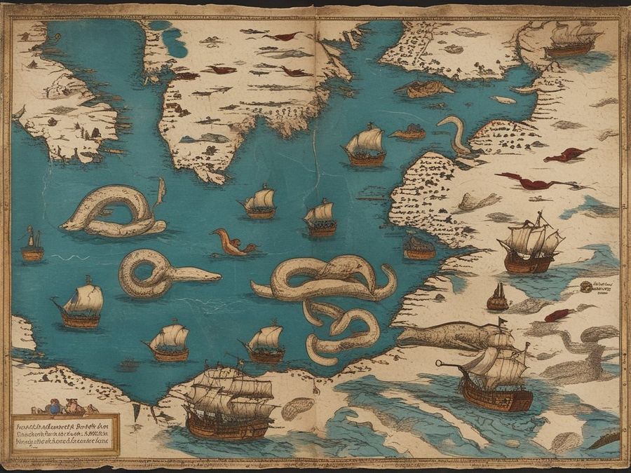
Mare Septentrionale
A Renaissance sea chart of northern waters, crowded with whales, serpents and the ships that met them.
Keys: S or ← Slop · R or → Real · Enter next

0 right
Maps
A Renaissance sea chart of northern waters, crowded with whales, serpents and the ships that met them.
Keys: S or ← Slop · R or → Real · Enter next
Maps
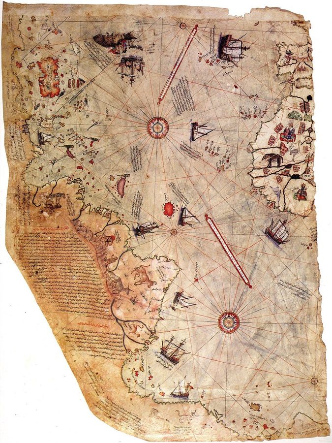
A fragment of a world map on parchment showing the Atlantic coasts of Europe, Africa and South America.
Keys: S or ← Slop · R or → Real · Enter next
Maps
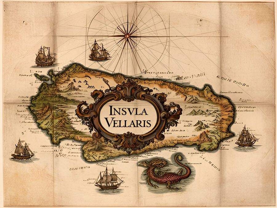
A hand-coloured engraving of a large island in the northern Atlantic, complete with towns, rivers and a cartouche.
Keys: S or ← Slop · R or → Real · Enter next
Maps
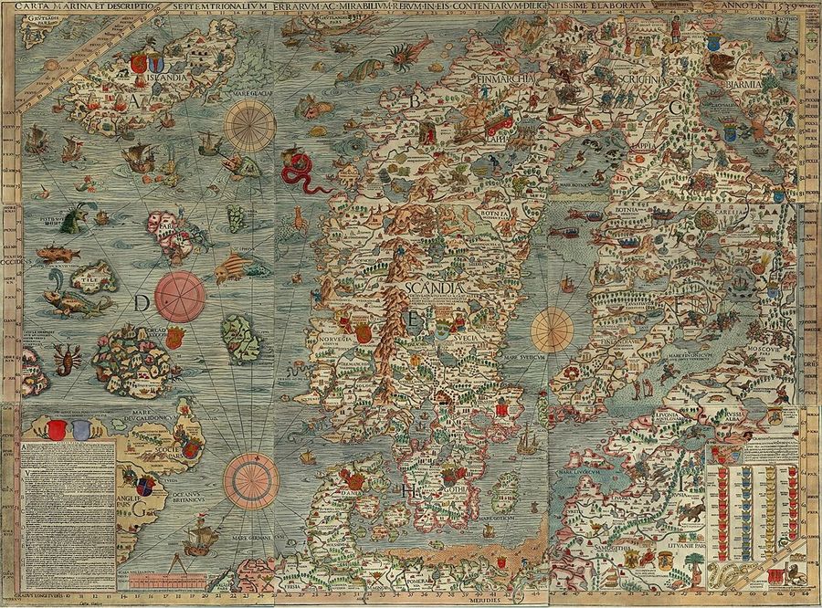
A large map of the Nordic lands and seas, full of whales, sea serpents and scenes of daily life.
Keys: S or ← Slop · R or → Real · Enter next
Maps
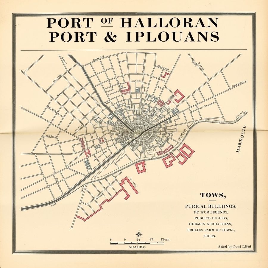
A Victorian street plan of a harbour town, with railway, docks and a numbered index of public buildings.
Keys: S or ← Slop · R or → Real · Enter next
Maps
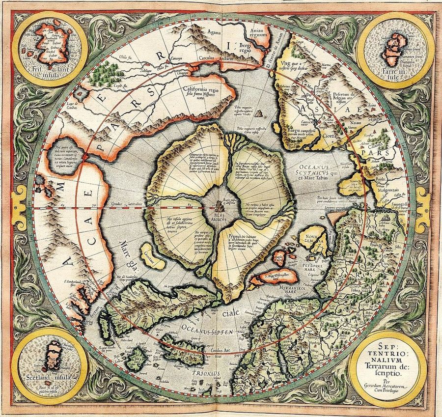
A map of the Arctic showing four large islands arranged around a black rock at the North Pole.
Keys: S or ← Slop · R or → Real · Enter next
SlopSpot Maps #1
/6
Next puzzle in
Which AI fools people most? Browse everything
Play the mixed daily puzzle · Album Covers · Boardgames · Children Books · Eurorack · Indie Games · Javascript Libraries · Magazines · Tech Startups