
Maps Play today's Maps puzzle →
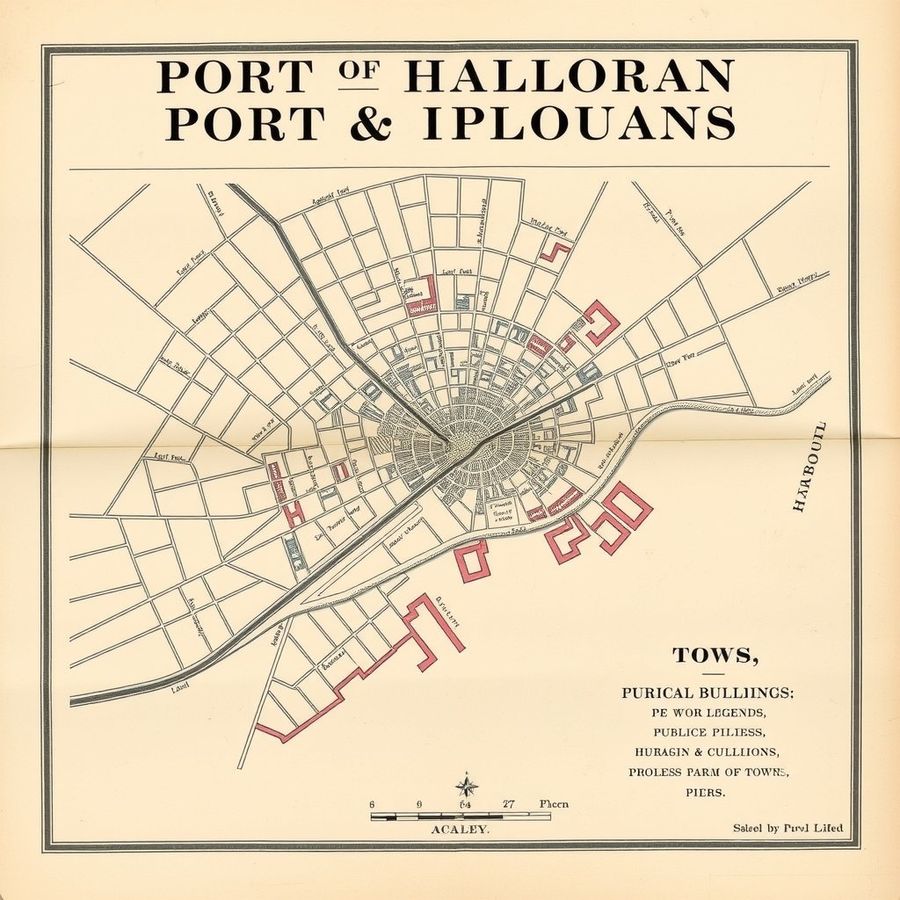
Plan of Port Halloran, 1894
A Victorian street plan of a harbour town, with railway, docks and a numbered index of public buildings.
Real, or AI slop?
A Victorian street plan of a harbour town, with railway, docks and a numbered index of public buildings.
Real, or AI slop?